Getting Here – Through Xcalak
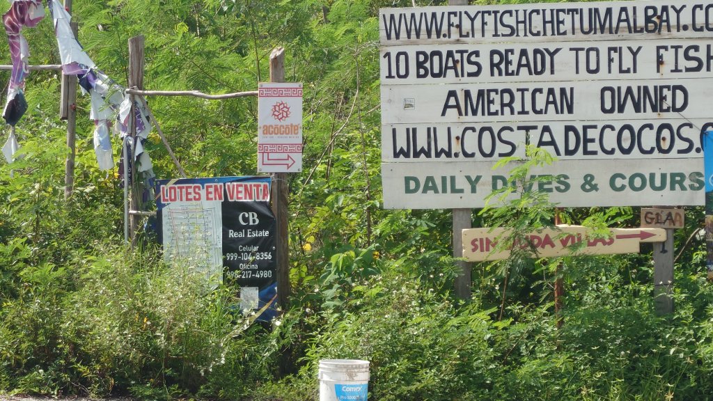
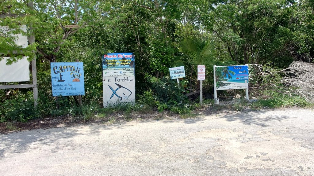
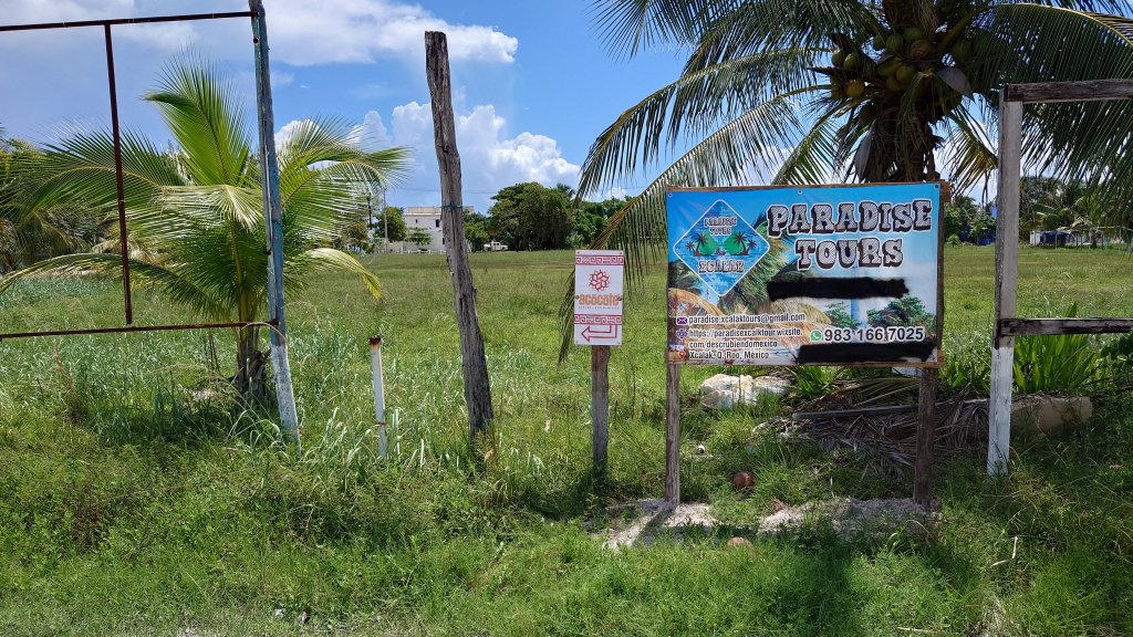
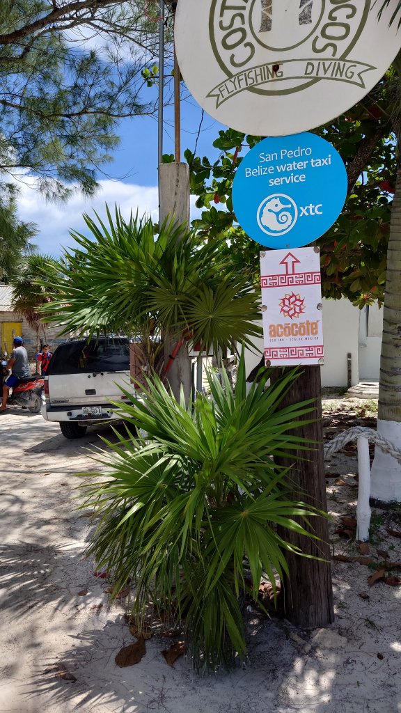
Update: Sept 22, 2023 – New signs up.
UPDATE: July 15, 2019 – Put up new signs again. Replaced some posts etc. that were falling apart.
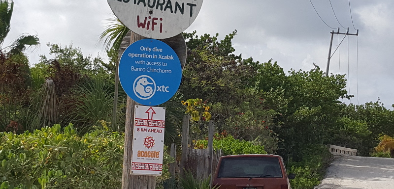
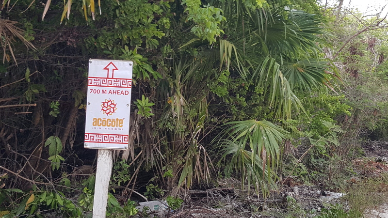
UPDATE: June 14, 2017 – Just put in new signs. And added a couple. One right at the bridge says “Ahead 8KM” and there is one on the beach road that says ahead 700M. Seems like people feel like they have gone too far when they are soo close. Anyway, updated the pictures in the post.
UPDATE: October 18, 2016 – There is now a bypass toll road around Filipe Carillo Puerto. The cost is just $28 pesos (a little over $1 USD). On the way down from Cancun just follow the signs for “Chetumal Cuota” or Chetumal Toll Road. On the way back to Cancun, follow the signs for “Cancun Cuota”. This will save you time driving through town. This will take you around the gas stations as well, so make sure you fill up in Tulum on the way down or Mahahual on the way back. HIGHLY RECOMMENDED.
So on our website we have pretty good directions on getting to us from Cancun. I realized that the one thing that isn’t clear (although it’s not that hard) is getting from Xcalak to our Inn. We have recently posted some direction signs in and around town to help you out. So without further ado. Here we go.
So coming here from Cancun or from Chetumal, you take the turn east on the Cafetal Road towards Mahahual from 307. If you are coming from Cancun this is your first turn off of the main highway. From there it is 51 KM to the Xcalak turn. The road is a 3 lane highway* and well maintained. Beware there is a nasty tope or speed bump before you get to the intersection. Take this one real slow. This is where our first sign is. It is a right turn. But before you do, check your gas. If you are getting low, go on another 500 yards to the Pemex and fill up.
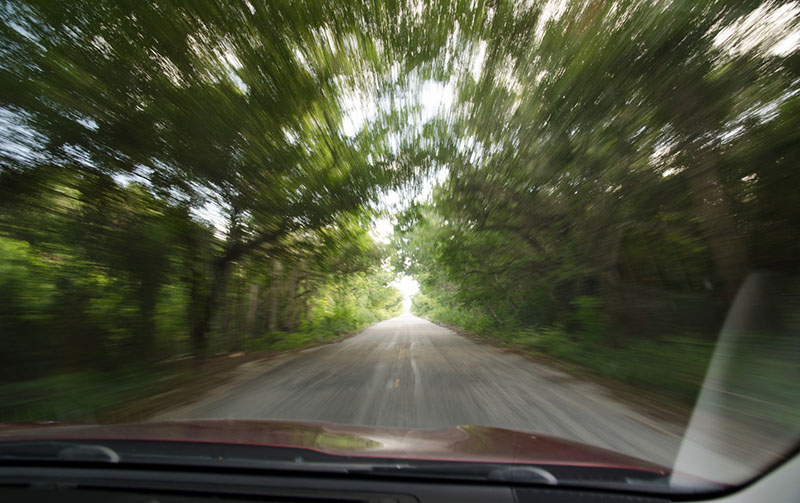
You will now be on a rather narrow road that the jungle encroaches on. It is about 61 KM. Take this one slow as there is a lot of wildlife, and some pedestrians along with blind curves. After 61 KM you will hit a T junction. Our next sign is here. Turn left (east toward the beach).
You are now on the home stretch to Xcalak. Follow the road until you run into the soccer field and our third sign. Turn left then right around the soccer field and head east toward the beach.
At the north east corner of the soccer field go straight. This is the trickiest part. You will go by the Conanp building (the National Park office) on the right, just follow the road around to the left, it does get a bit narrow. You will now be on the beach road. You should have Xcalak town’s beach on your right.
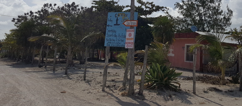
Now drive straight north along the beach, past the pier. You will go between two light houses. The road curves a bit to the left then continue north. After you pass the Marines station, and Osprey Tours, you will see our next sign. Turn left here.
Then your next right.
Then you come up to the bridge. Go straight up the beach road for 7.8 KM. Take your time. They don’t grade this road as often as it needs so there are a lot of potholes.
We also just added another sign about 700 meters short of the Inn. Just to let you know that you are close.
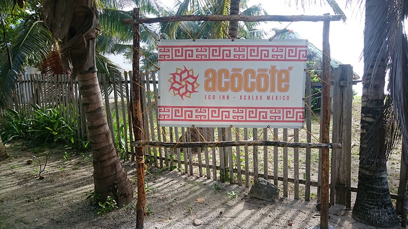
You will see the Acocote Eco Inn sign as you drive up. Parking is on the left. Welcome!
The three lane road is 1 and 1/2 lanes per side. For passing come up behind the car you are wanting to pass and put on your left blinker. They will generally pull over to the 1/2 lane allowing you to pass them. Conversely if someone comes up behind you and has their left blinker on, pull over to the half lane and allow them to pass.